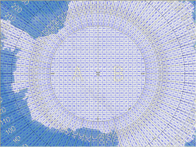
File:MGRSgridSouthPole.png
外观

本预览的尺寸:798 × 600像素。 其他分辨率:320 × 240像素 | 639 × 480像素 | 1,022 × 768像素 | 1,280 × 962像素 | 1,469 × 1,104像素。
原始文件 (1,469 × 1,104像素,文件大小:1,023 KB,MIME类型:image/png)
文件历史
点击某个日期/时间查看对应时刻的文件。
| 日期/时间 | 缩略图 | 大小 | 用户 | 备注 | |
|---|---|---|---|---|---|
| 当前 | 2007年11月21日 (三) 11:59 |  | 1,469 × 1,104(1,023 KB) | MikaelR | {{Information |Description={{en|Map of the Military Grid Reference System (MGRS) around the South Pole, with the AA lettering scheme for the 100 km squares north of 80°S.}} |Source={{en|Mikael R made the MGRS grid in SpatialAce of Carmenta, with a backgr |
文件用途
以下页面使用本文件:
全域文件用途
以下其他wiki使用此文件:
- en.wikipedia.org上的用途
- fi.wikipedia.org上的用途
- uk.wikipedia.org上的用途

