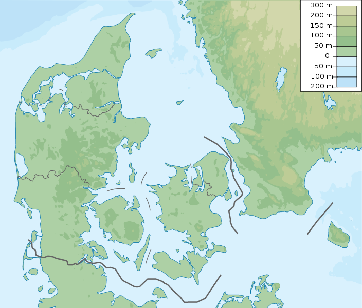
File:Denmark physical map.svg
外觀

此 SVG 檔案的 PNG 預覽的大小:704 × 600 像素。 其他解析度:282 × 240 像素 | 564 × 480 像素 | 902 × 768 像素 | 1,202 × 1,024 像素 | 2,404 × 2,048 像素 | 851 × 725 像素。
原始檔案 (SVG 檔案,表面大小:851 × 725 像素,檔案大小:379 KB)
檔案歷史
點選日期/時間以檢視該時間的檔案版本。
| 日期/時間 | 縮圖 | 尺寸 | 用戶 | 備註 | |
|---|---|---|---|---|---|
| 目前 | 2022年11月25日 (五) 15:29 |  | 851 × 725(379 KB) | GrandEscogriffe | more correct north-south stretching |
| 2013年10月23日 (三) 20:51 |  | 851 × 686(300 KB) | NordNordWest | upd | |
| 2011年3月16日 (三) 05:50 |  | 852 × 689(302 KB) | Urutseg |
檔案用途
下列11個頁面有用到此檔案:
全域檔案使用狀況
以下其他 wiki 使用了這個檔案:
- als.wikipedia.org 的使用狀況
- ar.wikipedia.org 的使用狀況
- ast.wikipedia.org 的使用狀況
- azb.wikipedia.org 的使用狀況
- az.wikipedia.org 的使用狀況
- Luytla-Duymun
- Streymoy
- Şablon:Yer xəritəsi Danimarka
- Yutlandiya
- Böyük Kəmər
- Skagerrak
- Kattegat
- Kiçik Kəmər
- Zelandiya (ada)
- Fyun
- Vensyossel-Ti
- Limfyord boğazı
- Amager çimərliyi
- Anholt adası
- Boqe adası
- Samsyo adası
- Myon adası
- Oryo adası
- Femyo adası
- Feyyo adası
- Boroy adası
- Kalsoy adası
- Kunoy adası
- Koltur adası
- Skuvoy adası
- Suvuroy adası
- Hestur adası
- Esturoy adası
- Qoashyolmur adası
- Tindhyolmur adası
- Sandoy adası
- Stoura-Duymun adası
- Voar adası
- Nyolsoy adası
- Svuynoy adası
- Viyoy adası
- Miçines adası
- Sumbiarstaynur
- Franklin adası (Qrenlandiya)
- Fuqloy adası
- Qrenen burnu
- Danimarka boğazları
- Bornholm
- Saltholm
檢視此檔案的更多全域使用狀況。

