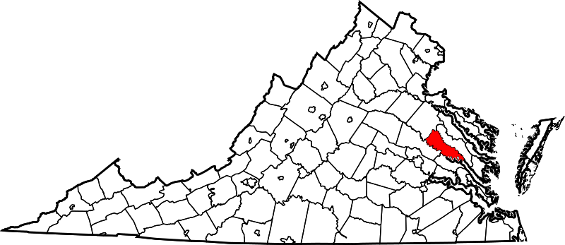
File:Map of Virginia highlighting King William County.svg
外观

此SVG文件的PNG预览的大小:800 × 347像素。 其他分辨率:320 × 139像素 | 640 × 278像素 | 1,024 × 444像素 | 1,280 × 555像素 | 2,560 × 1,110像素 | 2,495 × 1,082像素。
原始文件 (SVG文件,尺寸为2,495 × 1,082像素,文件大小:159 KB)
文件历史
点击某个日期/时间查看对应时刻的文件。
| 日期/时间 | 缩略图 | 大小 | 用户 | 备注 | |
|---|---|---|---|---|---|
| 当前 | 2024年7月5日 (五) 07:58 |  | 2,495 × 1,082(159 KB) | Nux | fix rendering (remove clipping), uniform colors |
| 2006年2月12日 (日) 17:48 |  | 7,486 × 3,247(223 KB) | David Benbennick | {{subst:User:Dbenbenn/clm|county=King William County|state=Virginia|type=county}} |
文件用途
以下2个页面使用本文件:
全域文件用途
以下其他wiki使用此文件:
- ar.wikipedia.org上的用途
- bpy.wikipedia.org上的用途
- ca.wikipedia.org上的用途
- cdo.wikipedia.org上的用途
- ceb.wikipedia.org上的用途
- ce.wikipedia.org上的用途
- cy.wikipedia.org上的用途
- de.wikipedia.org上的用途
- en.wikipedia.org上的用途
- List of cities and counties in Virginia
- West Point, Virginia
- Pamunkey Indian Reservation
- Pamunkey River
- Mattaponi
- King William, Virginia
- King William County, Virginia
- Template:King William County, Virginia
- Sandy Point State Forest
- Zoar State Forest
- Aylett, Virginia
- Beulahville, Virginia
- Calno, Virginia
- Chericoke, Virginia
- Cohoke, Virginia
- Corinth Fork, Virginia
- Duane, Virginia
- Duane Fork, Virginia
- Elsing Green, Virginia
- Enfield, Virginia
- Epworth, Virginia
- Etna Mills, Virginia
- Globe, Virginia
- Horseshoe, Virginia
- Keith, Virginia
- Lanesville, Virginia
- Mangohick, Virginia
- Manquin, Virginia
- Midway, King William County, Virginia
- Port Richmond, Virginia
- Romancoke, Virginia
- Rosespout, Virginia
- Rumford, Virginia
- Tuck Fork, Virginia
查看此文件的更多全域用途。

