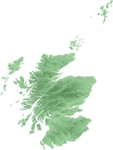
File:Scottish infobox template map.png
外觀

預覽大小:451 × 600 像素。 其他解析度:180 × 240 像素 | 361 × 480 像素 | 577 × 768 像素 | 1,154 × 1,535 像素。
原始檔案 (1,154 × 1,535 像素,檔案大小:661 KB,MIME 類型:image/png)
檔案歷史
點選日期/時間以檢視該時間的檔案版本。
| 日期/時間 | 縮圖 | 尺寸 | 使用者 | 備註 | |
|---|---|---|---|---|---|
| 目前 | 2007年9月21日 (五) 22:48 |  | 1,154 × 1,535(661 KB) | SFC9394 | {{Information |Description=Topo map of Scotland for use in Scottish infoboxes - equidistant cylindrical projection as naturaly outputted from SRTM data, stretched 150% vertically as deduced by w:User:Anameofmyveryown for easier viewing. |Source=SRTM d |
檔案用途
下列4個頁面有用到此檔案:
全域檔案使用狀況
以下其他 wiki 使用了這個檔案:
- am.wikipedia.org 的使用狀況
- as.wikipedia.org 的使用狀況
- awa.wikipedia.org 的使用狀況
- azb.wikipedia.org 的使用狀況
- bn.wikipedia.org 的使用狀況
- da.wikipedia.org 的使用狀況
- diq.wikipedia.org 的使用狀況
- en.wikipedia.org 的使用狀況
- User talk:SFC9394
- Wikipedia talk:WikiProject Scotland/Archive 6
- Template:Location mark+
- Template:Location mark+/doc
- Template:Location mark+/testcases
- Template:Location mark
- Template:Location mark/doc
- Template:Location mark~/testcases
- Template:Location mark+/sandbox
- Template:Location mark/sandbox
- Template:Location mark label
- en.wikiversity.org 的使用狀況
- fa.wikipedia.org 的使用狀況
- fo.wikipedia.org 的使用狀況
- fr.wikipedia.org 的使用狀況
- gv.wikipedia.org 的使用狀況
- hi.wikipedia.org 的使用狀況
檢視此檔案的更多全域使用狀況。


